

Description
Along the River Wear
This is a 10 mile figure-of-eight walk, along the River Wear Trail. This trail has paths on both sides of the river and we will use both sides. This is a favourite walk for one of our walkers, Anne. She lives close by.
Details
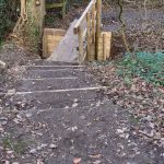
| Hills: | Some small hills and stairs. | |
| Distance: | Long distance | |
| Grade: | Difficult due to distance | |
| Map: |  |
|
| This walk is on OS map 308 Durham & Sunderland. Click on map image to buy this map. | ||
| Declaration: We are a participant in the Amazon Services LLC Associates Program, an affiliate advertising program designed to provide a means for us to earn fees by linking to Amazon.com and affiliated sites. | ||
The start

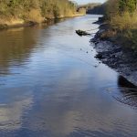
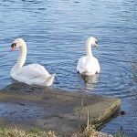
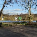
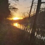
We start in Fatfield. There is a convenient car park at Mount Pleasant Lake. This lake is popular with local anglers. It’s also a good place to relax and do a bit of bird watching.
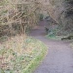
From here, we will follow the Southern side of the Wear down river. The route follows a well walked path, with lovely views of the river.
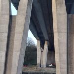
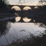
Victoria Viaduct over the River Wear
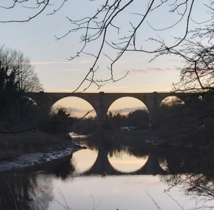
We pass under the Victoria Viaduct for the first time.
The viaduct was built as part of the Durham Junction Railway, and was completed in 1838. Queen Victoria was crowned in this year, hence the name. At the time it was one of the largest bridges in Europe. Trains stopped running on this line in 1991.
Cox Green

A little further on we reach Cox Green. This is a very small village and the only crossing point between Fatfield and South Hylton. This is the place that our figure-of-eight route crosses.
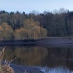
Washington Wetlands Centre

We follow the path from Cox Green along the North bank of the river, towards the Washington Wetlands Centre. We won’t be visiting the Centre but we can enjoy watching some of the birds attracted here.
South Hylton

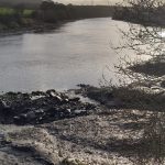
The last part of the first half takes us to North Hylton, where we cross over the A19 bridge to get to South Hylton. Here we make our way back down to the river, for our return journey. We head back to Cox Green, where we cross the river again.
James Steel Park
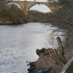
This park is a combination of woods, open spaces, farmland and river bank. We follow a pretty little section by the river and under the Victoria Viaduct again but this time on the North side.
Back to Fatfield
We soon return to Fatfield, where we can cross the river back to Mount Pleasant Lake.
Looking forward to seeing you on this walk.
Julie and Martin x
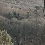
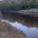
Gallery – Along the River Wear


Home | Blog | Walks | Sign-up | Contact
Strolls with Poles – Nordic Walking for Fun and Fitness