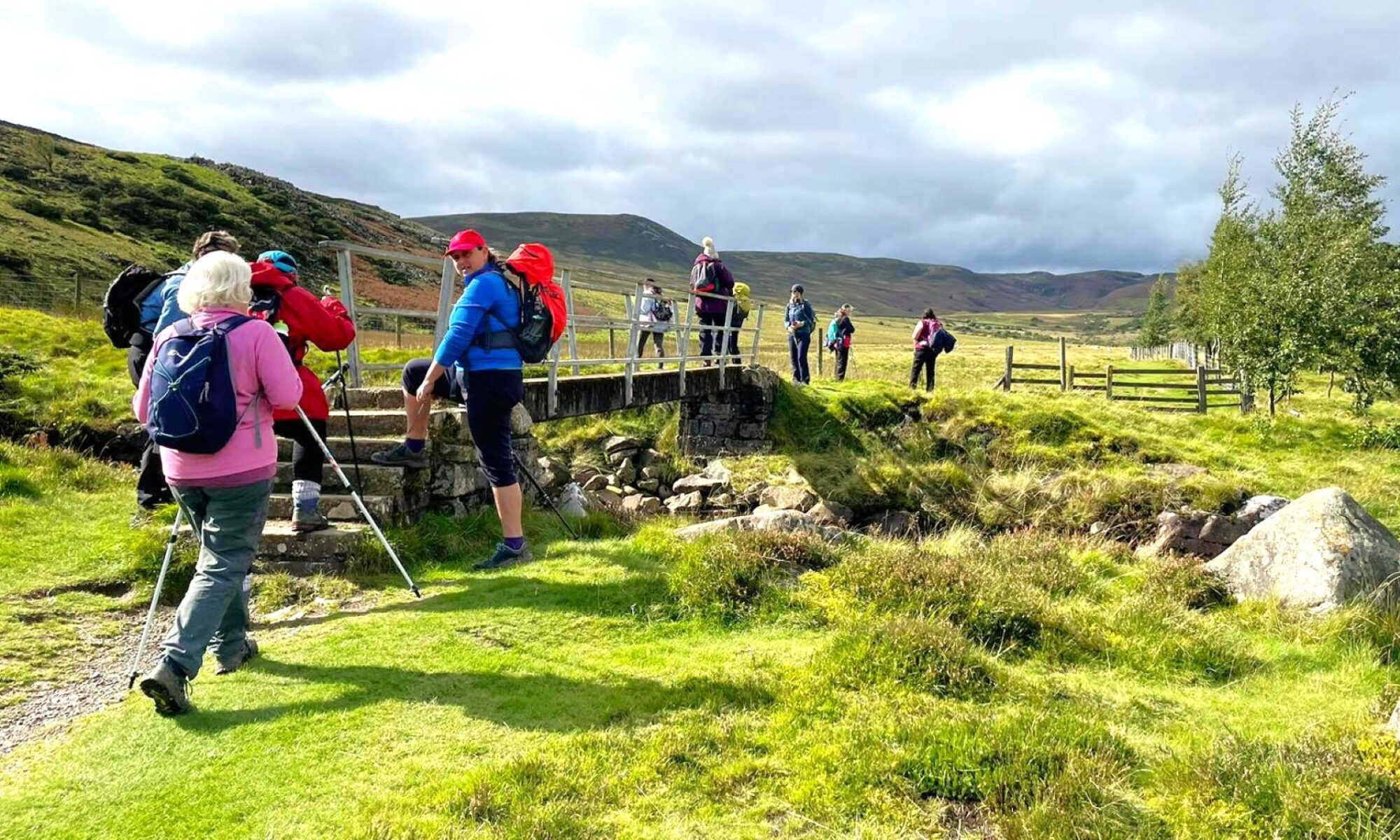

Description
Old Bewick, Blawearie and Cateran Hole
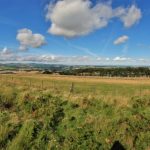
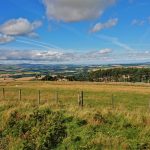
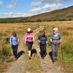
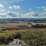
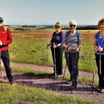
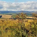
This walk not only visits Old Bewick, Blawearie and Cateran Hole, but gives the walker fantastic views around the area (weather permitting of course).
Details
| Hills: | Some hills | |
| Distance: | Medium distance | |
| Grade: | Moderate (Distance) | |
| Map: | 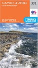 |
|
| This walk is on OS map Explorer 332 Alnwick & Amble. Click on map image to buy this map. | ||
| Declaration: We are a participant in the Amazon Services LLC Associates Program, an affiliate advertising program designed to provide a means for us to earn fees by linking to Amazon.com and affiliated sites. | ||
The start
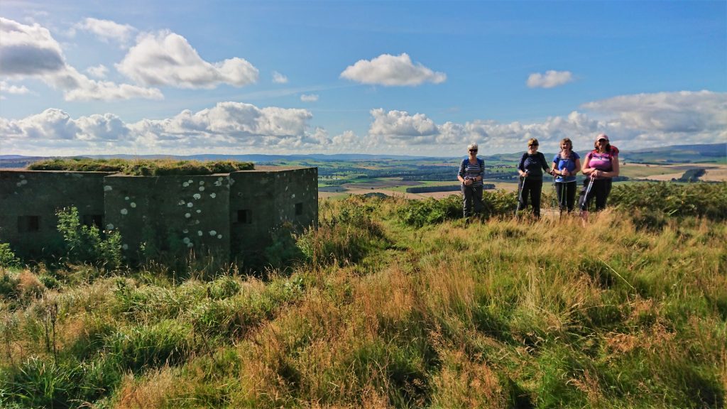
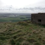
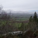
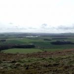
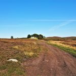
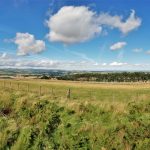
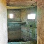
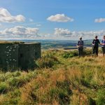
We will start at Old Bewick farm and walk North East towards Bewick Hill. Apart from the incredible views from this hill, there are two Iron Age hill forts here, with large double ramparts. One of them even has two WW2 pill boxes situated within it. For those who prefer the views to the history, there are spectacular views to the West over the Till valley.
Cateran Hole
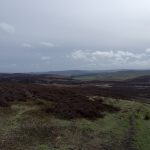
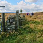
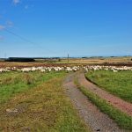
From Bewick Hill we will set off East, to follow a path around the Southern edge of the Bewick Moor open access area. This path eventually arrives at Cateran Hill and, beneath it, Cateran Hole.
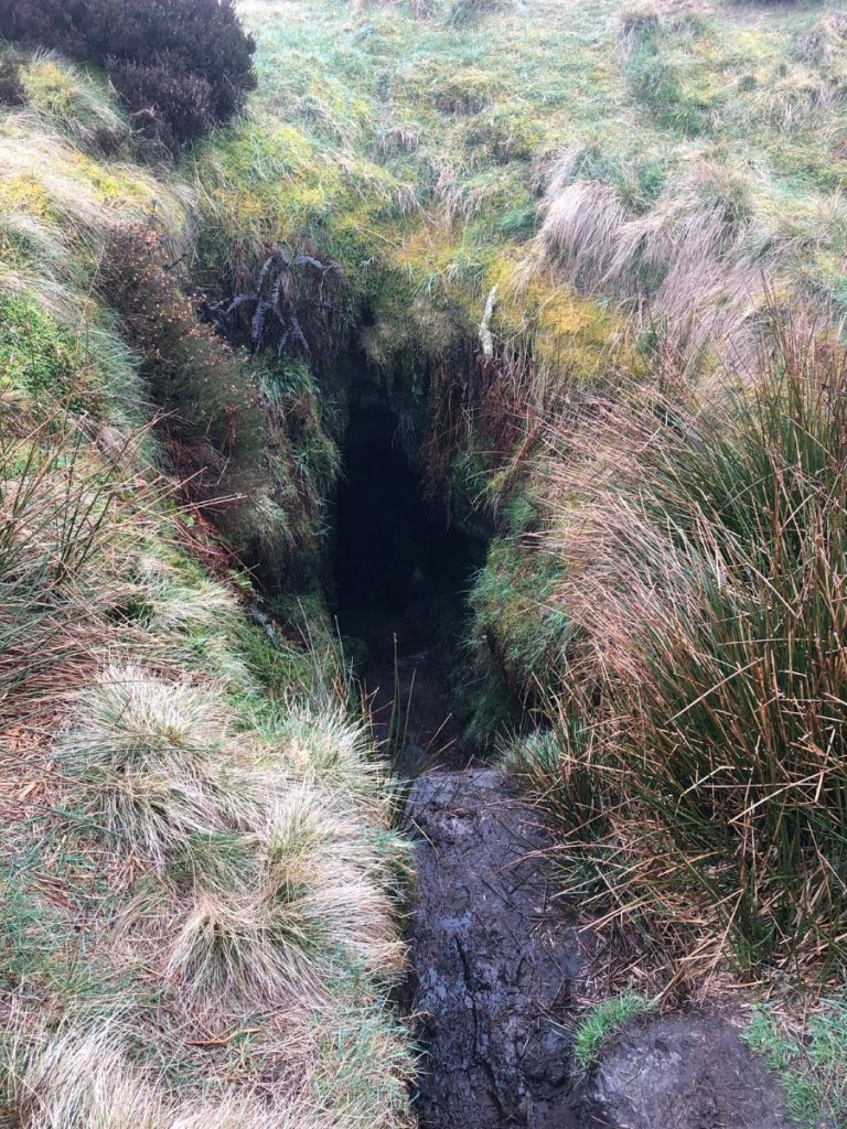
This is an interesting feature on the moor. Investigating what looks like a simple hole in the ground shows a set of steps. These lead to a narrow chamber. There are many ideas what this was for, including the entrance to a tunnel to Chillingham Castle. The most likely explanation is that it was a smugglers hole.
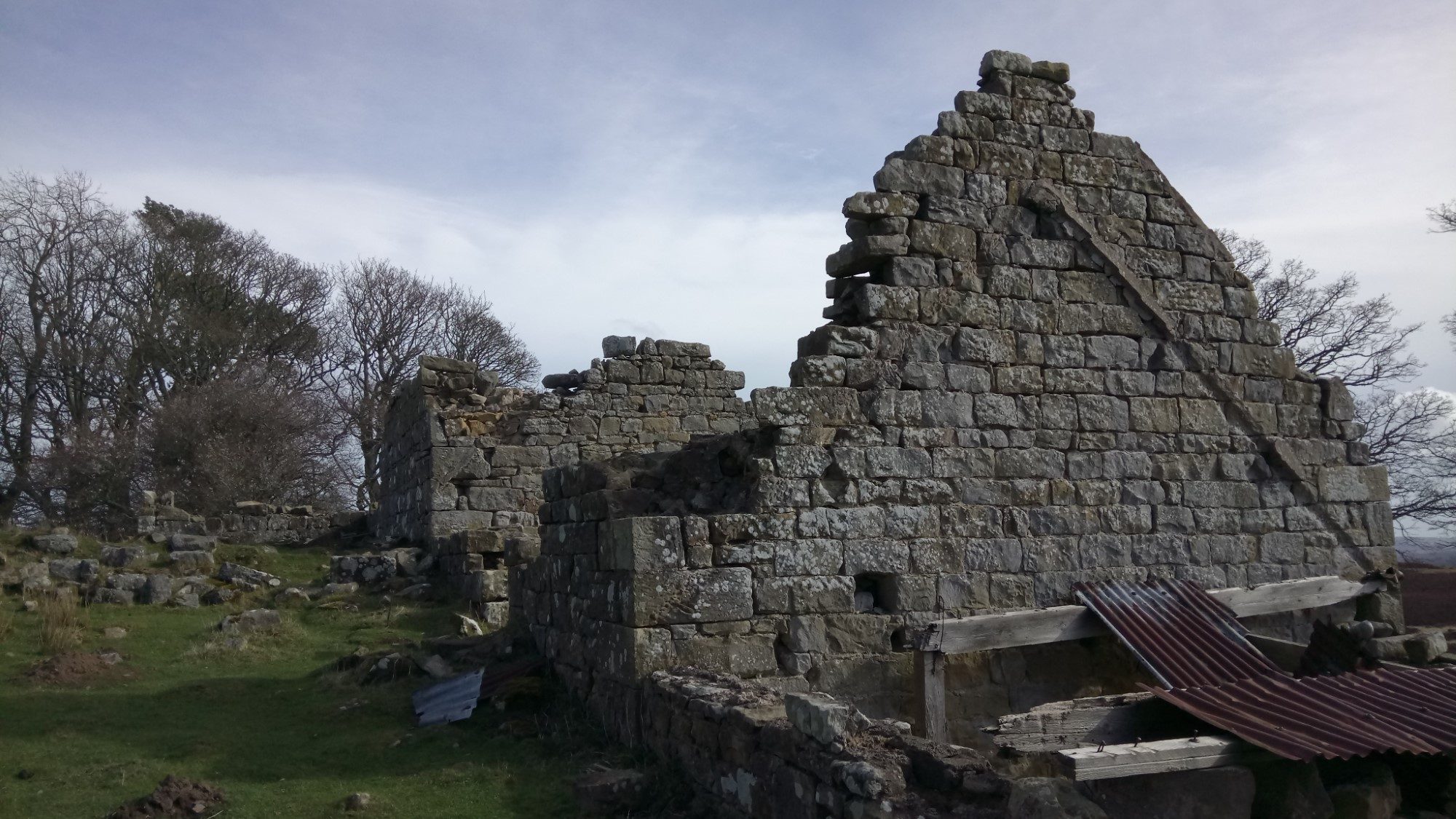
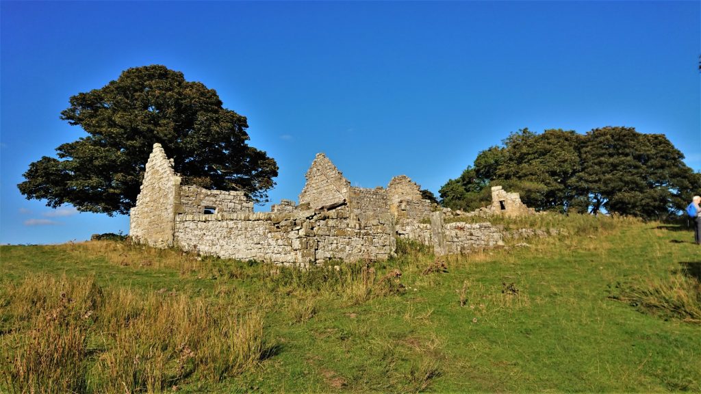
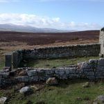
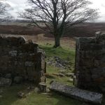
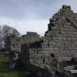
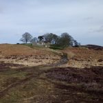
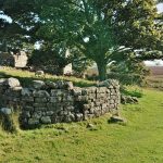
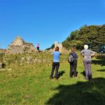
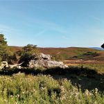
Blawearie
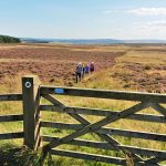
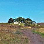
From Cateran Hole we will walk South West for our main objective, Blawearie. This is an old farmstead, which must have been a difficult place to live. You will see how exposed and remote it would have been. One of our walkers, Edith’s family lived in this building before the army requisitioned it for target practice!
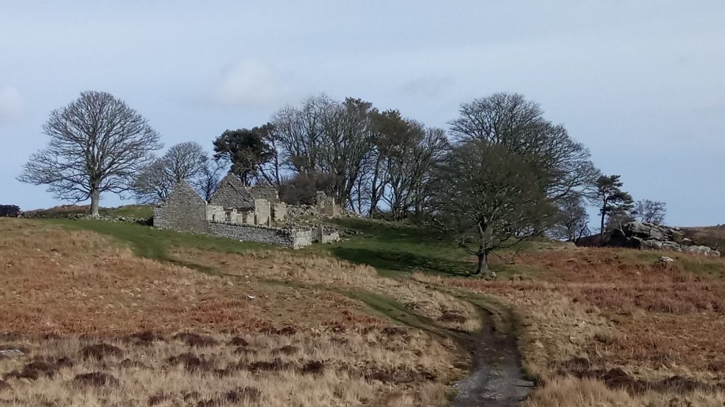
Close to Blawearie is a ancient cairn containing burial cysts.
The return to the start is only a short distance from here, down the other side of Bewick Hill.
We look forward to seeing you there.
Julie and Martin x
Gallery


Home | Blog | Walks | Sign-up | Contact
Strolls with Poles – Nordic Walking for Fun and Fitness