


Description
The Wannie Line
The Wannie Line or what was once the Wansbeck Railway is a great walk that is conveniently close to Newcastle. It is situated in the Wallington Estate and is mostly made up of permissive path, provided by Wallington.
Details
| Hills: | No hills | |
| Distance: | Medium distance | |
| Grade: | Easy to moderate (stiles and some short slopes) | |
| Map: |  |
|
| This walk is on map Explorer OL42 Kielder Water & Forest. Click on map image to buy this map. | ||
| Declaration: We are a participant in the Amazon Services LLC Associates Program, an affiliate advertising program designed to provide a means for us to earn fees by linking to Amazon.com and affiliated sites. | ||
The start
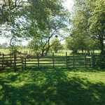
It starts in the car park of the former National Trust Regional Office, in Scots’ Gap. From here there is a short path down onto the line itself.
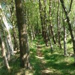
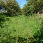
Even though we start on the Wannie Line, we don’t stay on it for long before we take the Rothbury branch. This route takes us North. The Rothbury branch used to go all the way to Rothbury and is the same railway that we have walked there.
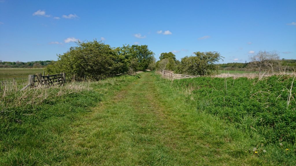
Walking along old railway lines is some of the best there is. They are relatively level and you don’t have to worry about traffic or trains, as they haven’t ran here since the 1960s. They are also very peaceful places and full of flora and fauna.
Leaving the Rothbury Branch
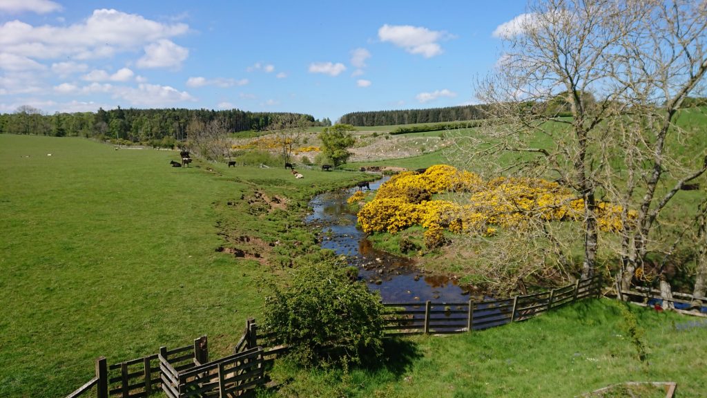
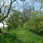
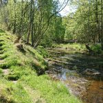
About 1.5 miles up the track, we leave the Rothbury Branch to take a path over to the Wannie Line. This path starts by following the Delf Burn into Delf Plantation, which is a lovely path along a wooded valley.
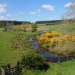
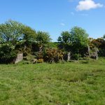
The path emerges onto farm land and a quarry where limestone must have been mined, to go directly into the adjacent lime kilns. Continuing along an old lane near Gallows Hill farm, we cross a road and then take a path though more fields before rejoining the railway.

The Wannie Line
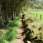
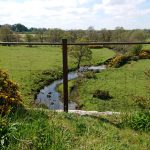
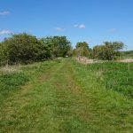
The Wannie Line part of the walk is different to the Rothbury Branch. The Rothbury Branch part is mainly on embankments but the Wannie Line is different. Much of this part is level with the surrounding area, so runs directly through fields, although the old track bed can still be seen.
The first part of this leg is through a cutting, which has been taken over by trees. Along the rest of the line the farm animals have no regard for history and the line is just another food source. There is about 2 miles of this railway before we arrive back where we started.
Hope to see you there.
Julie and Martin
Gallery


Home | Blog | Walks | Sign-up | Contact
Strolls with Poles – Nordic Walking for Fun and Fitness