

Description
Tunstall Reservoir
The Tunstall Reservoir walk takes us up onto the Wolsingham Moors. The route roughly follows the Waskerley Beck, upon which the reservoir is situated.
Details
| Hills: | Some hills | |
| Distance: | Medium distance | |
| Grade: | Moderate (Distance) | |
| Map: |   |
|
| This walk is on OS maps Explorer OL31 North Pennines and Explorer 307 Consett and Derwent Reservoir. Click on map image to buy this map. | ||
| Declaration: We are a participant in the Amazon Services LLC Associates Program, an affiliate advertising program designed to provide a means for us to earn fees by linking to Amazon.com and affiliated sites. | ||
The start
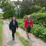
This walk starts in the lovely little village of Wolsingham. Wolsingham and Tunstall Reservoir are in the upper reaches of Weardale. The Waskerley Beck, which feeds Tunstall Reservoir, flows into the River Wear at Wolsingham.
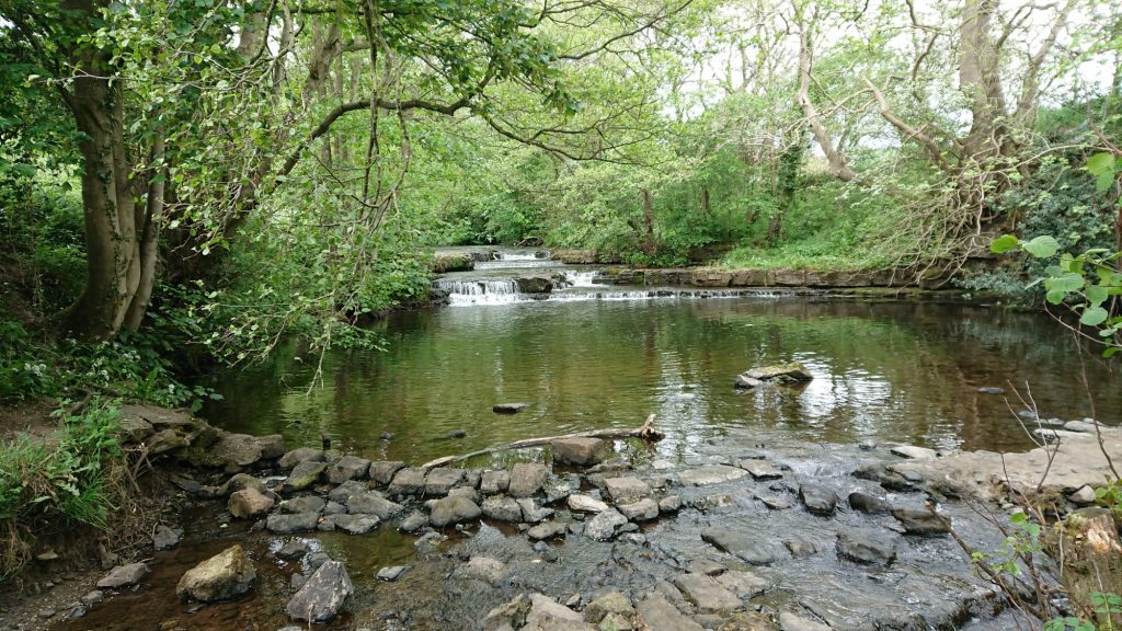
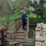
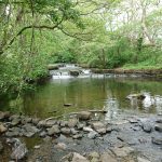
From the Demesne Mill Car Park we follow the Waskerley Beck. Here it is a small trickle of water. Hard to believe that this small beck is what is used to fill the reservoir. However, Tunstall Reservoir is the second reservoir on the Waskerley Beck. The other being Waskerley Reservoir, further up the valley.
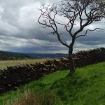
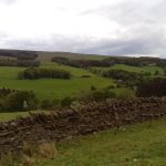
Fawnlees
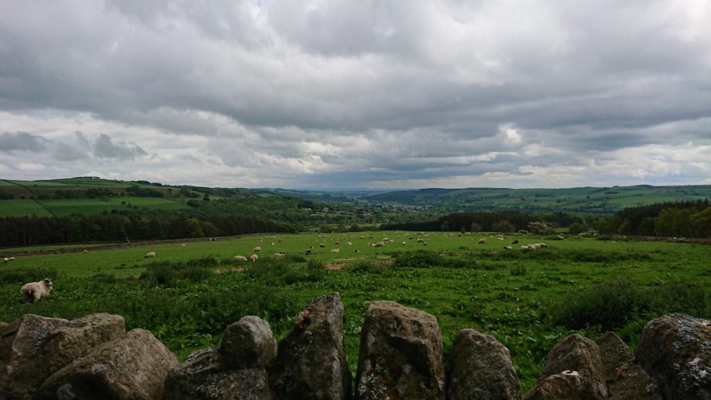
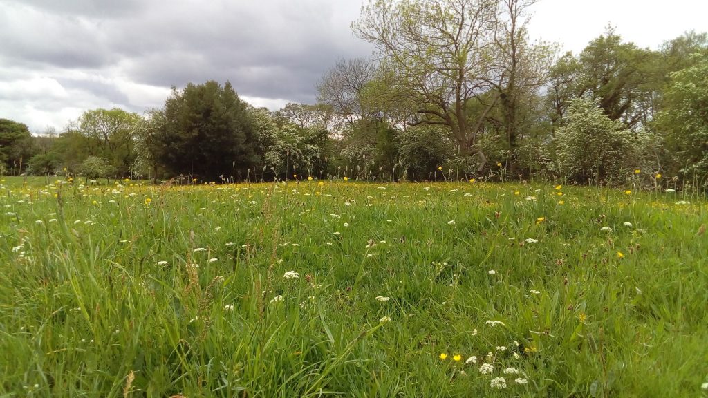
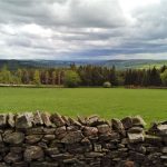
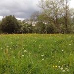
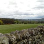
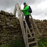
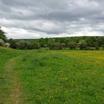
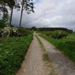
We follow the beck upstream, before taking a track up to Fawnlees. Once through Park Wall plantation, we will take a zigzag path through farmland. The view up there is incredible, with our destination, Tunstall Reservoir, in the distance.
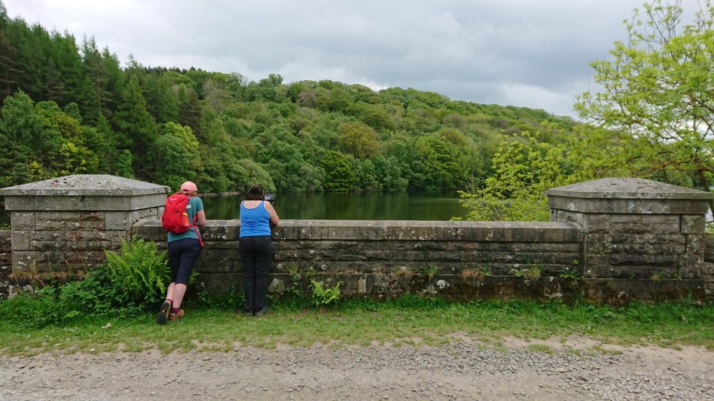
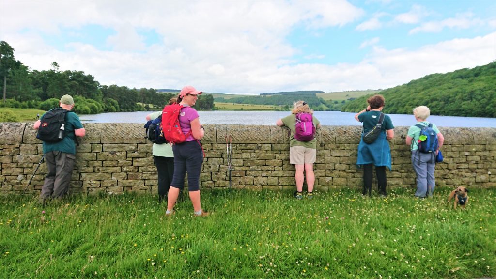
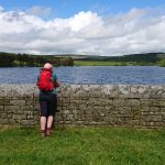
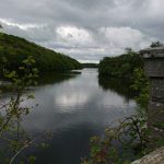
The dam
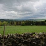
In short time we reach the dam wall, where we can stop to admire the view. This reservoir is a popular fishing spot, so you’ll see plenty of boats on the lake.
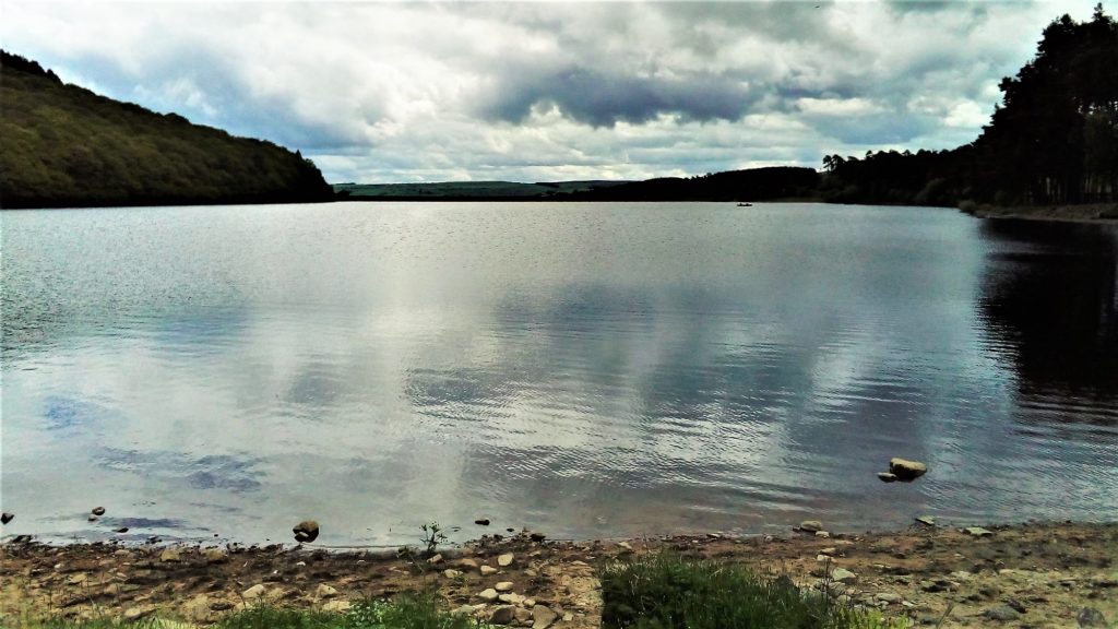
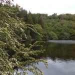
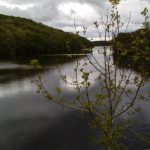
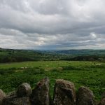
The reservoir
The next stage of the walk follows a path round the reservoir itself. There is a constant view of the water right up the West side of the lake. At the top of the lake we will stop for lunch. There are benches here where we can sit, admire the view and have lunch.
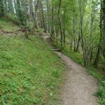
Backstone Bank Wood
The East side of the lake is wooded and is a nature reserve. In Backstone Bank Wood, wild plants and birds flourish. So, it is nice to take time to appreciate the beauty here before the last leg back to the starting point.
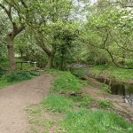
After the Wood, the path crosses fields before descending back down to the Waskerley Beck and back to Wolsingham.
We will take refreshments in one of the tea shops in Wolsingham, either Peggotty’s or No 10.
Hope to see you there.
Julie and Martin x
Gallery


Home | Blog | Walks | Sign-up | Contact
Strolls with Poles – Nordic Walking for Fun and Fitness