

Description
Prudhoe/Wylam
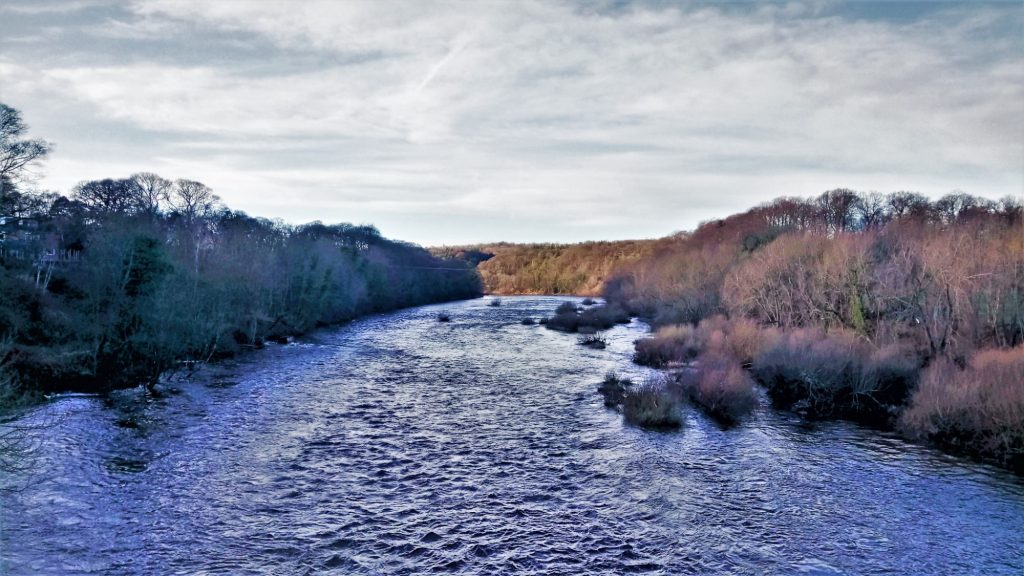
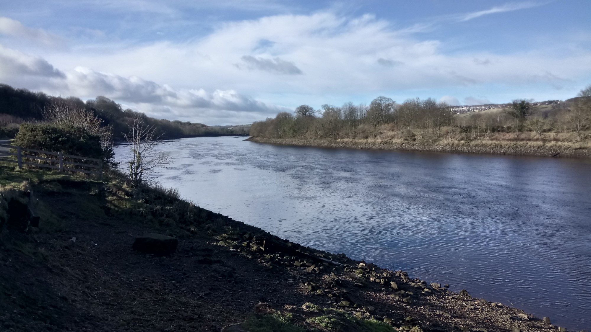
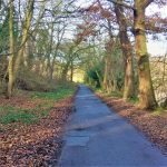
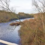
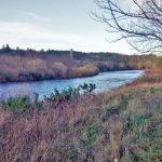
This is a short walk from the Tyne Riverside Country Park at Prudhoe to Wylam and then returning to Prudhoe. It takes in some lovely areas of the riverside, as well as the Spetchells, an artificial group of hills, created by ICI as a side effect of fertiliser production.
Details
| Hills: | One small hill | |
| Distance: | Short distance | |
| Grade: | Easy | |
| Map: |  |
|
| This walk is on OS map 316 Newcastle upon Tyne. Click on map image to buy this map. | ||
| Declaration: We are a participant in the Amazon Services LLC Associates Program, an affiliate advertising program designed to provide a means for us to earn fees by linking to Amazon.com and affiliated sites. | ||
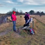
The start

We will start at the Tyne Riverside Country Park, in Prudhoe, before walking along the riverside to Wylam.
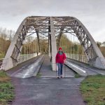
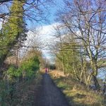
Hagg Bank Bridge – Wylam
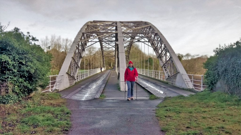
We will cross Hagg Bank Bridge and walk to Wylam via the disused railway line.
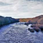
Hagg Bank Bridge is also known as West Wylam Bridge and Points Bridge. It is a footbridge over the River Tyne to the South West of Wylam. It was originally built in 1876 as a railway bridge, designed by William George Laws for the North-Eastern Railway Co. The wrought-iron bridge carried the Scotswood, Newburn and Wylam Railway, to connect the North Wylam Loop with the Newcastle and Carlisle Railway. The bridge was opened on the 6th of October 1876 and was in use for rail services up to 1968. In 1975, this grade II* listed bridge was converted into a footbridge and cyclepath, linking Wylam with the Tyne Riverside Country Park at Low Prudhoe.
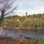
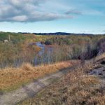
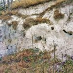
The Spetchells

We will return to the car park via the same path but this time we will walk via The Spetchells, which gives us a great opportunity to use our Nordic Walking skills uphill.
The Spetchells were created between the 1940s and the 1960s, when ICI were producing fertiliser. Calcium carbonate or chalk is a waste product of fertiliser production. Chalk geology does not occur naturally in this area. As a result, non native species of flora and fauna have colonised these artificial hills.
The Tyne Riverside Cafe
On returning to Prudhoe, we will visit the Tyne Riverside Cafe. We definitely recommend the cheese scones
Hope to see you there.
Julie and Martin
Gallery – Wylam


Home | Blog | Walks | Sign-up | Contact
Strolls with Poles – Nordic Walking for Fun and Fitness